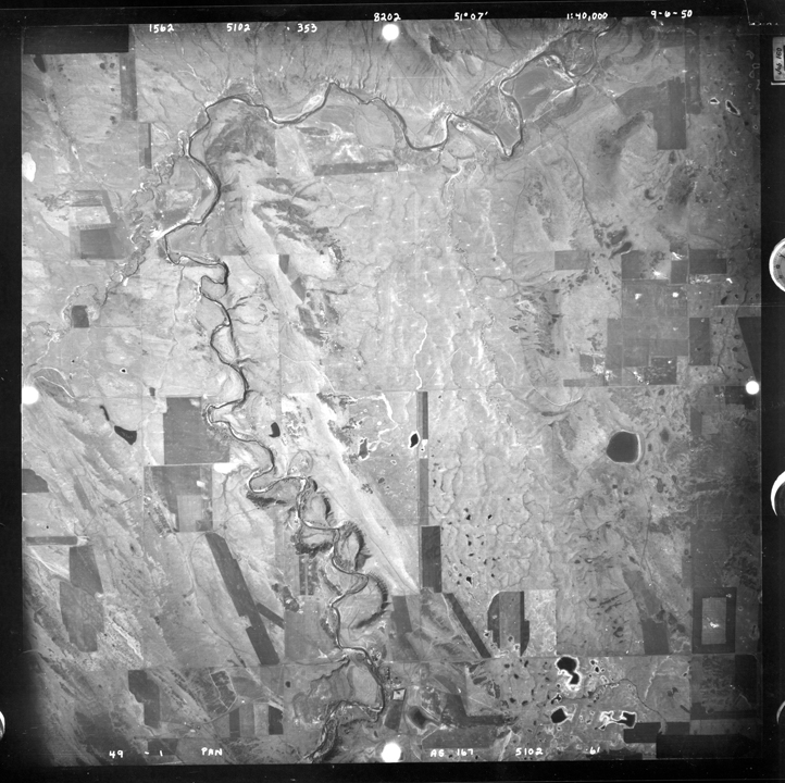
The demand for accurate and large scale mapping has fuelled the need for Photogrammetry related applications. Softcopy Photogrammetry has made Photogrammetry viable and affordable. Large scale mapping is being undertaken all over the world for applications in Town Planning, Cadastral Surveys, Highways, Irrigation, Base mapping and Topomapping. Photogrammetry is emerging as a popular technology that provides accurate and reliable inputs to GI Databases. Main features of the programme are:
1.Aerial Triangulation
2.Digital Map Creation
3.DTM / DEM Creation
4.Fundamentals in Photogrammetry& Aerial Photography
5.Maps & Map Projections
6.OrthoImage Generation
7.Overview of RS, GIS & GPS
8.3D-Digitization
Trainees are also given an opportunity to work on a project involving operations like Orientation of Photographs, Aerial Triangulation, Data capture and Model Creation.


